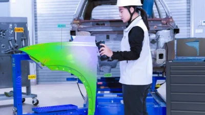
The collaboration combines LiDAR, digital twins and GIS expertise to support consistent indoor data across campuses and multi-site facilities.
GeoComm and SCENA announced a partnership focused on delivering indoor mapping at scale, helping organizations with large, distributed, or complex facility portfolios turn physical space into structured, operational GIS data.
As indoor mapping programs grow in scale and complexity, having access to a range of capture technologies and delivery capacity becomes increasingly valuable. Coordinating field teams across dozens or hundreds of locations, matching capture technology to each facility’s complexity, and keeping deliverables consistent across an entire portfolio all become more important as programs scale.
Through the partnership, GeoComm and SCENA combine complementary strengths built for that scale. SCENA brings national field capacity and a broad technology set, including LiDAR scanning, Matterport-based digital twins, 360-degree imagery, point clouds, drone capture, and as-built documentation, adding to the range of capture approaches GeoComm can bring to a project. GeoComm brings public safety grade location intelligence expertise, GIS data quality standards, and the operational context needed to prepare indoor data for safety and mission-critical use.
As part of GeoComm’s broader services ecosystem strategy, the partnership extends GeoComm’s capacity to support larger and more complex indoor mapping engagements, including multi-site programs, higher education campuses, and other facility types where scale and richer building documentation add real value.
By coordinating capabilities across the project lifecycle, GeoComm and SCENA can help organizations run larger indoor mapping initiatives with fewer fragmented handoffs and more consistent documentation across every site.
Through the partnership, customers can:
- Capture existing conditions across large, multi-site, or geographically distributed facility portfolios.
- Match capture technology, including LiDAR, digital twins, 360 imagery, drone capture, or point clouds, to the needs of each facility.
- Convert captured data into structured, operational indoor GIS data.
- Deploy consistent documentation standards across multiple buildings, campuses, or regions.
- Reduce coordination burden on internal teams managing large-scale capture programs.
- Establish indoor maps that support safety, emergency planning, and day-to-day facility operations.
The partnership adds a high-capacity, technology-flexible delivery option to GeoComm’s growing services ecosystem, giving organizations with large or complex indoor mapping needs a coordinated path from physical space to trusted, public safety grade location intelligence.
For more information, visit geocomm.com.